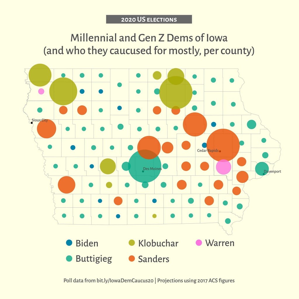
The 2020 Democratic Primaries and Caucuses were a lot of fun to map. It was a crowded race, and the Iowa caucuses in particular were much anticipated. I thought it would be fun to map the results, which hinted at spatial links between voter preferences, age, and urbanization.
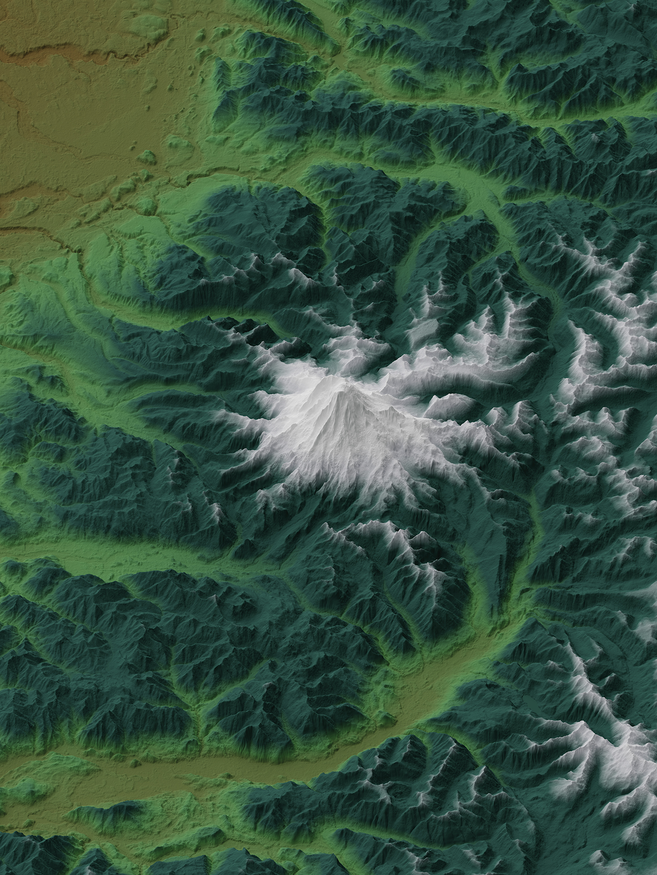
Since I learned how to make prettier digital elevation maps using Blender, I have been making them as gifts to family and friends. I made this one of Mount Rainer as a Christmas present for a friend in Washington. It has an oblique view that simulates how the mountain looks like from a plane. The color scheme accurately depicts the elevation range of evergreen trees as well as snowcaps during winter.
